Projects

2026

2 projects

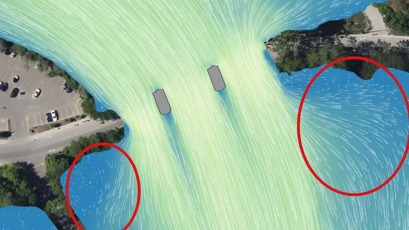
  1. Map of the Humber River at the Old Mill Road bridge, seen from above. Pale particle traces run from the top to the bottom between two grey piers, and two red ellipses mark the slower water in the bays on both sides below the bridge.Humber River bridges: a 2D flood model in HEC-RAS Course project, 2026 (opens in a new tab)
  2. Hydrologic modelling with Raven Course project, 2026 This slot is empty. The figures and results of this project are not public yet.